Near the western tip of the Mojave Desert and a few miles west
of NASA’s Armstrong Flight Research Center, fields of
wildflowers painted the landscape yellow in spring 2024. On
April 9, the OLI (Operational Land Imager) on the Landsat 8
satellite acquired this image of fields of yellow wildflowers
blanketing Antelope Valley amid solar and wind farms. The day
after the image was acquired, the Antelope Valley California
Poppy Reserve reported that wildflowers were “popping,” but the
region’s famous poppies were not. Rangers at the reserve said
they also saw very few small poppy plants maturing, suggesting
an impressive poppy bloom is unlikely in the coming weeks.
Even though Pacific storms have become less frequent, as is
often the case in April, a new storm is brewing and will slice
across California just in time for the weekend, bringing areas
of rain, mountain snow and much cooler air, AccuWeather
meteorologists say. … A storm over the Gulf of Alaska will
drop southward just off the coast into Friday and will swing
toward California this weekend. … A few inches to
perhaps a foot of snow may fall over the high country of the
Sierra Nevada from the weekend storm.
President Biden plans to expand the perimeters of two national
monuments in California, protecting mountains and meadows in a
remote area between Napa and Mendocino as well as a rugged
stretch east of Los Angeles, two people familiar with the
administration’s plans said Thursday. The San Gabriel Mountains
National Monument and the Berryessa Snow Mountain National
Monument will each get new boundaries designed to protect land
of cultural significance to Native American tribes, as well as
biodiversity and wildlife corridors, said the people, who asked
not to be named because they were not authorized to discuss the
plans publicly.
As the burning of fossil fuels and other human activities
continue to increase the levels of carbon dioxide in the
atmosphere, the ocean is absorbing a large portion of the CO2,
which is making seawater more acidic. … And here’s one
important fact about ocean acidification: It’s not happening at
the same rate everywhere. The California coast is one of the
regions of the world where ocean acidification
is occurring the fastest. … In particular, effluent
discharged from coastal sewage treatment plants, which has high
nitrogen levels from human waste, has been shown to
significantly contribute to ocean acidification off the
Southern California coast.
Chiquita Canyon Landfill has drawn more than 10,000 complaints,
a number of lawsuits and calls for it to close from residents
and elected officials and is allegedly dumping untreated
stormwater into local waterways, according to a complaint
issued this week by state water officials. The L.A.
Regional Water Quality Control Board issued another violation
Tuesday against Chiquita Canyon Landfill, after Castaic and Val
Verde residents sent the agency numerous photos of the landfill
allegedly pumping from its stormwater basin into the local
waterway at night. Multiple photos were posted to local social
media groups as well.
Today, Congresswoman Norma Torres and Congressman David Valadao
– members of the House Appropriations Committee – announced the
introduction of the bipartisan Removing Nitrate and Arsenic in
Drinking Water Act. This bill would amend the Safe Drinking
Water Act to provide grants for nitrate and arsenic reduction,
by providing $15 million for FY25 and every fiscal year
thereafter. The bill also directs the Environmental
Protection Agency (EPA) to take into consideration the needs of
economically disadvantaged populations impacted by drinking
water contamination. The California State Water Resources
Control Board found the Inland Empire to have the highest
levels of contamination of nitrate throughout the state
including 82 sources in San Bernardino, 67 sources in Riverside
County, and 123 sources in Los Angeles County.
Pasadena Water and Power (PWP) has launched a new multi-year
campaign called “The Ripple Effect” aimed at promoting water
sustainability and resilience in the community. Acting General
Manager David Reyes urged all PWP customers to become local
water stewards for Pasadena and the region by participating
in the campaign. “We invite every member of our
community to embrace their role as local water stewards,” said
Reyes. “Each one of us holds a vital place in shaping
Pasadena’s water future.” About one-third of
Pasadena’s water supply comes from local groundwater, with the
remaining two-thirds imported from other sources. PWP
emphasized that understanding where the community’s water comes
from helps foster a greater appreciation for
this critical resource.
Nearly half of US prisons draw water from sources likely
contaminated with toxic PFAS “forever chemicals”, new research
finds. At least around 1m people incarcerated in the US,
including 13,000 juveniles, are estimated to be housed in the
prisons, and they are especially vulnerable to the dangerous
chemicals because there is little they can do to protect
themselves, said Nicholas Shapiro, a study co-author at the
University of California in Los Angeles.
Learn the history and challenges facing the West’s most dramatic
and developed river.
The Layperson’s Guide to the Colorado River Basin introduces the
1,450-mile river that sustains 40 million people and millions of
acres of farmland spanning seven states and parts of northern
Mexico.
The 28-page primer explains how the river’s water is shared and
managed as the Southwest transitions to a hotter and drier
climate.
The Topock Marsh has seen a significant drop in water levels
recently, with dry patches visible and locals concerned about
the effects on wildlife. The 4,000-acre Bureau of Reclamation
marsh is adjacent to the Colorado River in the Havasu National
Wildlife Refuge. Managed by the U.S. Fish and Wildlife Service,
it serves as a recreation area and wildlife habitat for the
Tri-state.
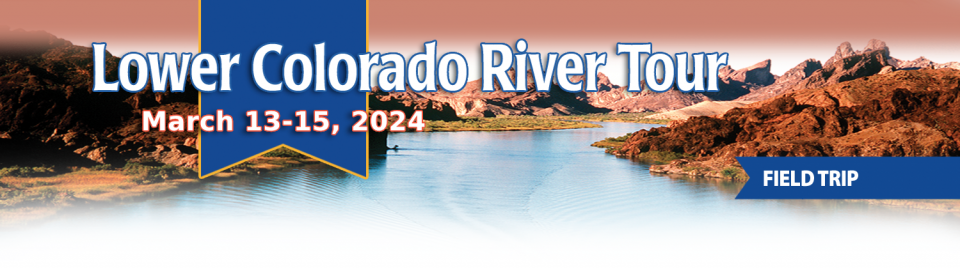
This tour explored the lower Colorado River firsthand where virtually every drop of the river is allocated, yet demand is growing from myriad sources — increasing population, declining habitat, drought and climate change.
The 1,450-mile river is a lifeline to some 40 million people in the Southwest across seven states, 30 tribal nations and Mexico. How the Lower Basin states – Arizona, California and Nevada – use and manage this water to meet agricultural, urban, environmental and industrial needs was the focus of this tour.
Hilton Garden Inn Las Vegas Strip South
7830 S Las Vegas Blvd
Las Vegas, NV 89123
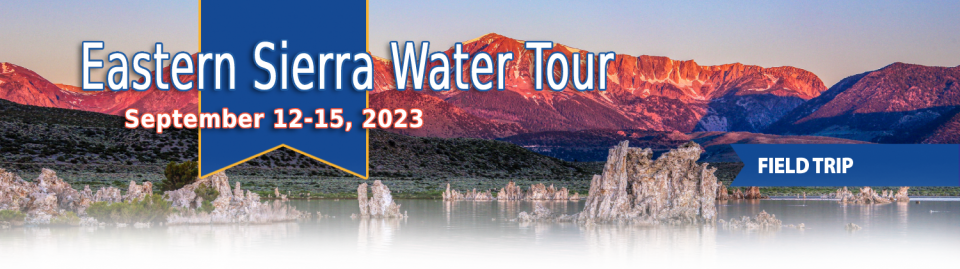
This special Foundation water tour journeyed along the Eastern Sierra from the Truckee River to Mono Lake, through the Owens Valley and into the Mojave Desert to explore a major source of water for Southern California, this year’s snowpack and challenges for towns, farms and the environment.
Managers of California’s most
overdrawn aquifers were given a monumental task under the state’s
landmark Sustainable Groundwater Management Act: Craft viable,
detailed plans on a 20-year timeline to bring their beleaguered
basins into balance. It was a task that required more than 250
newly formed local groundwater agencies – many of them in the
drought-stressed San Joaquin Valley – to set up shop, gather
data, hear from the public and collaborate with neighbors on
multiple complex plans, often covering just portions of a
groundwater basin.
Martha Guzman recalls those awful
days working on water and other issues as a deputy legislative
secretary for then-Gov. Jerry Brown. California was mired in a
recession and the state’s finances were deep in the red. Parks
were cut, schools were cut, programs were cut to try to balance a
troubled state budget in what she remembers as “that terrible
time.”
She now finds herself in a strikingly different position: As
administrator of the U.S. Environmental Protection Agency’s
Region 9, she has a mandate to address water challenges across
California, Nevada, Arizona and Hawaii and $1 billion to help pay
for it. It is the kind of funding, she said, that is usually
spread out over a decade. Guzman called it the “absolutely
greatest opportunity.”
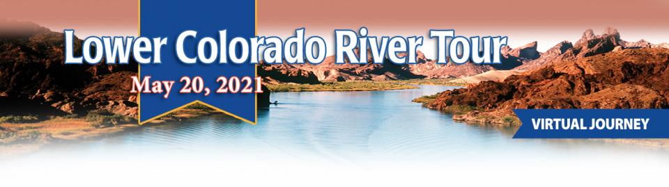
This tour explored the lower Colorado River firsthand where virtually every drop of the river is allocated, yet demand is growing from myriad sources — increasing population, declining habitat, drought and climate change.
The 1,450-mile river is a lifeline to some 40 million people in the Southwest across seven states, 30 tribal nations and Mexico. How the Lower Basin states – Arizona, California and Nevada – use and manage this water to meet agricultural, urban, environmental and industrial needs was the focus of this tour.
Hyatt Place Las Vegas At Silverton Village
8380 Dean Martin Drive
Las Vegas, NV 89139
The lower Colorado River has virtually every drop allocated, yet demand is growing from myriad sources — increasing population, declining habitat, drought and climate change.
The 1,450-mile river is a lifeline to 40 million people in the Southwest across seven states, 30 tribal nations and Mexico. How the Lower Basin states – Arizona, California and Nevada – use and manage this water to meet agricultural, urban, environmental and industrial needs was the focus of this tour.
Hyatt Place Las Vegas At Silverton Village
8380 Dean Martin Drive
Las Vegas, NV 89139
When you oversee the largest
supplier of treated water in the United States, you tend to think
big.
Jeff Kightlinger, general manager of the Metropolitan Water
District of Southern California for the last 15 years, has
focused on diversifying his agency’s water supply and building
security through investment. That means looking beyond MWD’s
borders to ensure the reliable delivery of water to two-thirds of
California’s population.
A government agency that controls much of California’s water
supply released its initial allocation for 2021, and the
numbers reinforced fears that the state is falling into another
drought. The U.S. Bureau of Reclamation said Tuesday that most
of the water agencies that rely on the Central Valley Project
will get just 5% of their contract supply, a dismally low
number. Although the figure could grow if California gets more
rain and snow, the allocation comes amid fresh weather
forecasts suggesting the dry winter is continuing. The National
Weather Service says the Sacramento Valley will be warm and
windy the next few days, with no rain in the forecast.
This event explored the lower Colorado River where virtually every drop of the river is allocated, yet demand is growing from myriad sources — increasing population, declining habitat, drought and climate change.
The 1,450-mile river is a lifeline to 40 million people in the Southwest across seven states and Mexico. How the Lower Basin states – Arizona, California and Nevada – use and manage this water to meet agricultural, urban, environmental and industrial needs was the focus of this tour.
Innovative efforts to accelerate
restoration of headwater forests and to improve a river for the
benefit of both farmers and fish. Hard-earned lessons for water
agencies from a string of devastating California wildfires.
Efforts to drought-proof a chronically water-short region of
California. And a broad debate surrounding how best to address
persistent challenges facing the Colorado River.
These were among the issues Western Water explored in
2019, and are still worth taking a look at in case you missed
them.


")
")


")
")